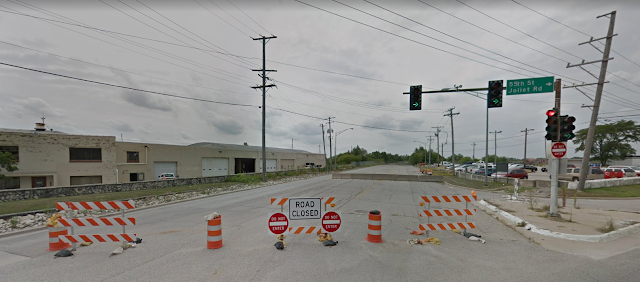
A Map of Abandoned Highways By Tomas Masterson
As the third word in our name implies, we are just as interested in highway infrastructure as abandoned railways, yet we have never tried to make a map of abandoned highways. The reason for this is simple; roads are very rarely abandoned in their entirety.
Thanks as always for reading!
Take Route 66 for example, much of the original route is still able to be traversed today, and plenty of what is not is simply used for local connections. It's why we likened the current state to the Ship of Theseus. Whereas the longest abandoned railroad is hundreds of miles long (depending on how you define what is the longest, each one is still over 100 miles), the longest stretch of abandoned highway I can think of offhand is the Abandoned Pennsylvania Turnpike, about 12 miles in length (ironically, owing its existence to the never-completed South Pennsylvania Railroad)
 |
| Laurel Hill Tunnel in 1942, part of the abandoned Pennsylvania Turnpike. Arthur Rothstein photo, US Library of Congress. |
It's been too difficult to begin to map out abandoned highways in my own region, let alone the world, which is why I'm thankful that one of our followers, Tomas Masterson, has begun this process, which you can see below.
Much like our own map, there are omissions and the data is incomplete, but I am impressed enough at the beginning of this work to feature it as our first blog of 2024! Over time, I hope that more items are added, as well as context and information/links to relevant sources for each road, which is something that we try our best to do on our map.
Thanks as always for reading!


Comments
Post a Comment