Posts

Showing posts from July, 2018

The Arizona & Swansea Railroad

Image
The Arizona & Swansea Railroad ran between the ghost towns of Bouse and Swansea , AZ in the early 20th century. Like many lines constructed around that time, it was exclusively used in mining. ( Right of way ). At Bouse, the line connected with the Arizona & California Railroad , which later became part of the Atchison Topeka & Santa Fe . Tracks of the former Arizona & Swansea  (Photo: GhostTownAZ) A 21 mile line constructed in 1909, its purpose was to support the mining operations of the  Swansea Consolidated Gold & Copper Company . Arizona & Swansea Railroad Stock Certificate Like many short lines, it suffered from mismanagement, which led to the mine being unprofitable before World War I. By 1912, the mines would close. Reopening in 1914 under new management, it stayed operational until copper prices dropped immediately following the war. Ruins at Swansea, AZ . Photo: GhostTownAZ The line would be abandoned in 1927, and Swansea would become a ghost town sho

The Forgotten Railways of Chicago: The Santa Fe Railyard, Chinatown Square & Ping Tom Memorial Park

Image
The landscape of Chicago, while in a continuous state of change, has been perhaps most strikingly changed in the area east of the Chicago River. Looking from Ping Tom Memorial Park towards Downtown Chicago with the St. Charles Air Line Bridge in the foreground. As late as the 1970's, the east side of the Chicago River was almost nothing but various railyards and railroad property, easily identifiable in topo maps from the region. Englewood 1972 USGS Topo Map It's quite easy to see just from satellite imagery just how the area has changed, as areas where the rails were once king have given way to new parks , shopping centers, movie theaters and residential buildings.  East of the river, large scale redevelopment and environmental cleanup has taken place, and continues to do so. Source: Google Maps This isn't just unique to Chicago, as Pittsburgh is another example of ongoing redevelopment along it's Allegheny River Waterfront.  Top: Google

Illinois Route 66: A Proposal for a New State Route Along Former US Route 66

Image
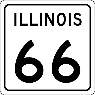
A hypothetical IL 66 Route Marker. As it would only be located in Illinois, a North-South cardinal direction would be more appropriate than former US-66's East-West designation. There are few, if any, roads as legendary as Route 66 . It is without question the road most firmly entrenched in mid-Century Americana, just as railroads were in the 19th Century. 66 is also a story of our changing road landscape. Built in the 1920's, and not fully paved until much later, The Mother Road was in a constant state of change and upgrading, not dissimilar to roads today. This map does a great job of documenting the changing route over time, much better than I could. Except that this change, and America's growing need to move faster throughout the United States, would make 66 expendable.  The road was decommissioned fully in the 1980's, although it had shrunk in size much earlier.  And yet, the story goes on. Much of the former road is still in service a

Where Did The Mother Road Actually Begin in Chicago?

Image
In Chicago, The Begin Historic US 66 sign is located at Adams St at Michigan Ave for westbound travelers. But the road actually never started there. The sign on the south side of the street is often used for travelers to place stickers signifying the beginning, or end of their journey along the former  Route 66 . Image: Rex McManamy via RoadsideThoughs Of course, Route 66 has a long and complicated history through its 2400 mile trek from Chicago to Los Angeles, and in most places cannot be considered one linear road, especially in major cities.  Jackson Blvd at Michigan Ave was the original starting point of the route, however it was extended east as Jackson was extended to Lake Shore Dr. Unfortunately, my favorite map of the Mother Road's many alignments has since gone offline. This Map of 66 will have to do. Anything is better than Route 66 Navigation app, however. Now the question you're all here for, where did Route 66 begin in Chicago? It's actually a pretty easy

The Minneapolis & St Louis Railway

Image
The Minneapolis & St Louis Railway was founded in 1870 to connect the Minneapolis area with points south, although it would never connect to St. Louis. Minneapolis was home to the largest flour milling operations in the country at that time. Nonetheless, it grew to serve four states; South Dakota, Minnesota, Iowa and Illinois. Image: Minneapolis & St. Louis 244 . Jeff Terry During the 1880's, it ran into receivership and became under the control of the Chicago Rock Island & Pacific Railroad. This would pair it with another CRI&P subsidiary, namely the Iowa Central Railroad . In 1917, the railroad was nationalized for the war effort of World War I, coming under the control of the United States Railroad Administration . This proved disastrous, as the railroad could not modernize post control, and was left to larger railroads to decide its fate. In 1960, this dilemma was solved when the railroad was purchased by the Chicago & Northwestern Railway . As the railroad

The Lost and the Dammed: Abandoned Towns and Railroads From Damming

Image
The World has changed, and is in a constant state of change, as we human beings are especially good at changing things big and small to better suit our needs (or so we think, at least). Dams are some of the earliest examples of human ingenuity, allowing water retention and flood suppression, among a number of other benefits. However, quite a few dams have also displaced people, railroad lines, and even entire towns. Through my ongoing research our  abandoned railroad lines , I began to discover there are quite a large amount of areas which look completely different before and after they were dammed. Here are some of what I'm sure are dozens more examples. All of these former settlements are on our  Ghost Towns map, and can be found using the GPS Coordinates if you're interested in seeing what they look like today for yourself. I also recommend checking out the USGS Topo Map Viewer , which will allow you to see these towns in greater detail. 1) Callville, NV (36.11333, -